


How Ocean Currents Shape Coastal Weather and Holiday Planning
Ocean currents such as the Gulf Stream shape sea temperatures, rainfall, fog and storm seasons along coastlines — and understanding them helps you choose the best month to travel.
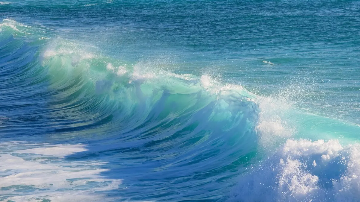
Stand on a beach in Cornwall in August, then stand on one in Nova Scotia in the same month. Same latitude, similar light, wildly different water. That difference is not luck. Ocean currents act as conveyor belts for heat, dragging warm water towards the poles and cold water back towards the equator, and they leave a mark on everything a coastal holiday depends on: sea temperature, cloud, fog, rainfall and wind. A handful of current systems is some of the most useful geography a traveller can carry.
How currents decide what a coastline feels like
Currents are driven by wind, the rotation of the Earth and differences in water density. In each ocean basin they form large loops called gyres, and two patterns matter most to holidaymakers.
Warm currents, usually on the western side of ocean basins, carry tropical water towards cooler latitudes — the Gulf Stream, the Kuroshio off Japan, the East Australian Current. They lift sea temperatures, add moisture to the air above them, and often leave nearby coasts humid, green and rainy.
Cold currents, typically on the eastern side of basins, flow from higher latitudes towards the tropics — the Canary Current off Portugal and Morocco, the California Current, the Benguela off Namibia, the Humboldt off Peru and Chile. They cool the air, encourage fog and dry out coastlines.
Upwelling, the coastal twist
Add upwelling to the picture. Where winds push surface water offshore, cold, nutrient-rich water rises from below. That is why Lima sits close to the equator yet feels damp and grey for much of the year, why the Namib and Atacama deserts run right down to the sea, and why some of the world's richest fisheries lie beside beaches where few people swim.
The Gulf Stream and the mild north-east Atlantic
Start with the example British and Irish readers can feel for themselves. The Gulf Stream flows up the eastern seaboard of North America, then continues across the Atlantic as the North Atlantic Drift, pushing warm water towards Ireland, Scotland, Iceland and Norway.
Compare latitudes. St John's in Newfoundland and London sit at a similar distance from the equator, yet their winters are not remotely comparable. The drift, combined with the prevailing south-westerly winds that blow across it, keeps north-west Europe noticeably milder than Canada's east coast.
That has practical consequences. UK and Irish sea temperatures usually sit in the single figures in late winter and climb into the mid to high teens by late summer. The Atlantic west coast is milder and wetter; the east is drier and more continental in feel. And the same south-westerlies that carry warmth also carry rain, which is precisely why Ireland and western Scotland are so green.
Cold currents, fog and coastal deserts
Where a cold current hugs the shore, the air above it cools and its moisture condenses into low cloud and fog rather than rain. The result is a coastline that can be grey at ten in the morning and bright by two, with cold water even in high summer.
Classic examples include the Pacific coast of California and Oregon, the Atlantic coast of Morocco and Western Sahara, and Namibia's Skeleton Coast. If you are planning a beach trip on any of these, pack a windproof layer and expect the sea to be bracing rather than balmy.
Where a warm current meets a cold one, fog turns thick. Off Newfoundland, the Gulf Stream and the cold Labrador Current collide, producing some of the foggiest waters on the planet.
Why the sea lags behind the air
Water has a much higher heat capacity than land: it warms slowly and cools slowly. That is why the warmest sea temperatures usually arrive a few weeks after the hottest air temperatures — often in late August and September in the Northern Hemisphere, and into October in the Mediterranean and around the Canary Islands.
- Late summer and early autumn often give the best swimming, even as the evenings shorten.
- Early summer can be deceptive: hot air, still-cold sea, and a stiff breeze on the sand.
- Sea breezes matter too. Land heats faster than water, so air rises over the shore in the afternoon and cooler air slides in from the sea, leaving coastal resorts a few degrees cooler than inland towns.
Rainfall, storm seasons and the timing of a trip
Warm seas supply the moisture and energy that drive heavy rain and tropical storms. The Atlantic hurricane season runs from June to November and usually peaks around September, with the Caribbean, Gulf of Mexico, Florida and the Bahamas the main areas affected. That does not rule out a summer trip, but it does mean watching forecasts and choosing travel insurance with care.
Cold currents do the opposite, stabilising the air and suppressing rainfall. Coastal Peru, Namibia and Baja California are dry to the point of desert, and it is no accident that cold water runs alongside them. Monsoon systems work on a larger, seasonal rhythm, reversing winds and shifting rainfall between winter and summer around the Indian Ocean rim, which is why some Indian and South-East Asian coasts have sharply defined seasons.
How to choose your months
A short routine, ideally done before you book:
- Check sea surface temperature, not just air temperature, for your destination and month.
- Compare it with somewhere you know. If you find 24°C water comfortable, that is your benchmark; 16°C means a wetsuit or a very quick dip.
- Look at the rainfall pattern. Warm-current coasts tend to be wetter; cold-current coasts cloudier but drier.
- Check the storm season, including regional monsoon dates as well as Atlantic hurricanes.
- Consider a shoulder month. Late September and early October often combine warm water, quieter beaches and lower prices.
- Ask about wind and morning fog. On upwelling coasts, fog is routine and usually lifts by midday.
Practical notes for coastal trips
West-facing coasts on warm currents bring humidity, lush landscapes and more rain, so plan indoor options. Cold-current coasts reward late starts: fog in the morning, sunshine after lunch. Where swimming matters most, book the last weeks of summer rather than the first. Remember that a sea breeze will cool any beach by mid-afternoon, and that sheltered coves and bays can feel a full category warmer than an exposed headland.
Sea temperatures also vary enormously over short distances where currents meet or where deep water rises close to shore, which is why one resort can be pleasant for swimming while the next bay along is not. On long-haul trips, it is worth checking whether the Pacific is in an El Niño or La Niña phase; both shift rainfall and storm patterns well beyond the Pacific, with knock-on effects for diving visibility and fisheries. None of this replaces a good local forecast, but it does explain why the same latitude can offer two completely different holidays — and it makes choosing your dates far less of a gamble.